 Empire
Construction Land Surveying
Survey control and staking that keeps construction on plan.
Services
From construction land surveying to plot plans and everything in between. Our team of highly skilled, licensed surveyors [to verify] uses the latest technology to deliver accurate, reliable results, for commercial developers and homeowners alike.
Survey control and staking that keeps construction on plan.
Grade staking and elevation checks for earthwork.
Topographic surveys and layout of site features.
Documenting what was actually built, for records and sign-off.
Repeat measurements that track movement in structures and ground.
Surveys for commercial sites, from small lots to large developments.
ALTA/NSPS land title surveys for purchases and financing.
High-definition laser scanning of sites and structures.
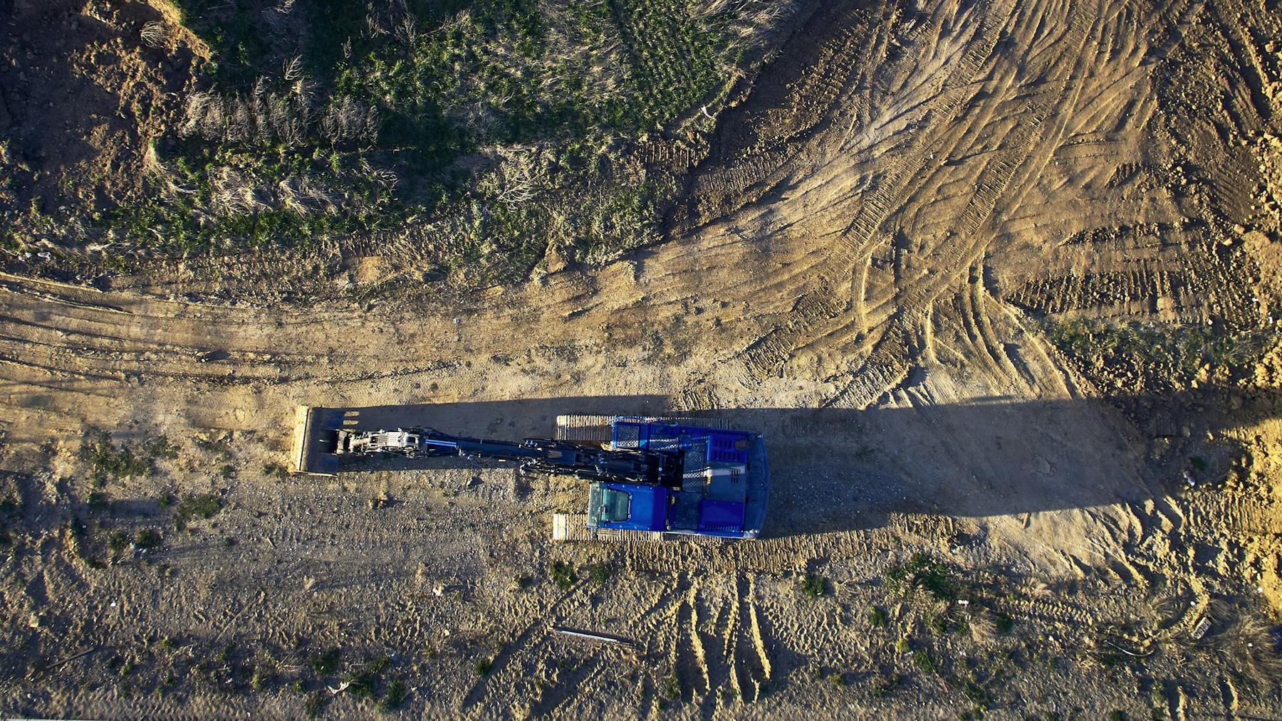
Aerial drone mapping of sites.
Survey support for planning how land is used and developed.
Surveys for homeowners, buyers and builders.
Locating and marking property lines.
Mapping for dividing land into new parcels.
Elevation surveys for flood zone requirements.
Plot plans showing a property and what's on it.
Project-side support on construction jobs. [scope to confirm]
Hi-def 3D laser scanning
High-definition laser scanning records sites and structures in detail, ready for design, as-built records and monitoring.
UAV mapping
Aerial drone mapping covers large or hard-to-reach sites quickly.

Equipment & technology
Survey instruments and GNSS
Civil design and drafting
Survey and CAD software
Aerial data capture
Drone photogrammetry and mapping
High-definition laser scans
Point clouds of sites and structures
Product names belong to their owners. Equipment list [to verify]
Experience
Our team of surveyors has years of experience [to verify] providing professional surveying services for clients in many industries. We have worked on projects ranging from small residential surveys to large commercial developments [to verify], and our attention to detail delivers accurate, reliable results.