 Empire
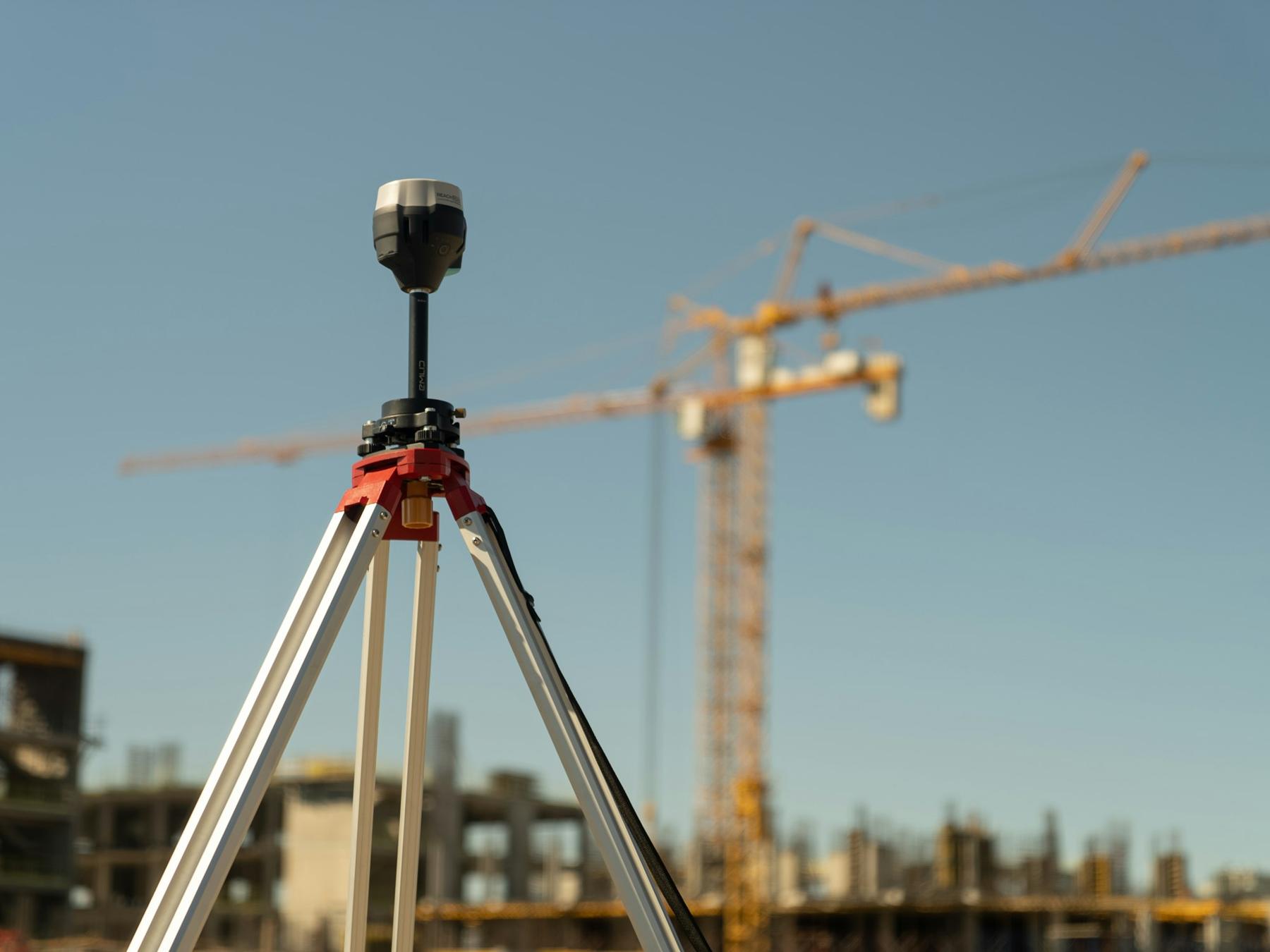


Construction Land Surveying
Survey control and staking that keeps construction on plan.
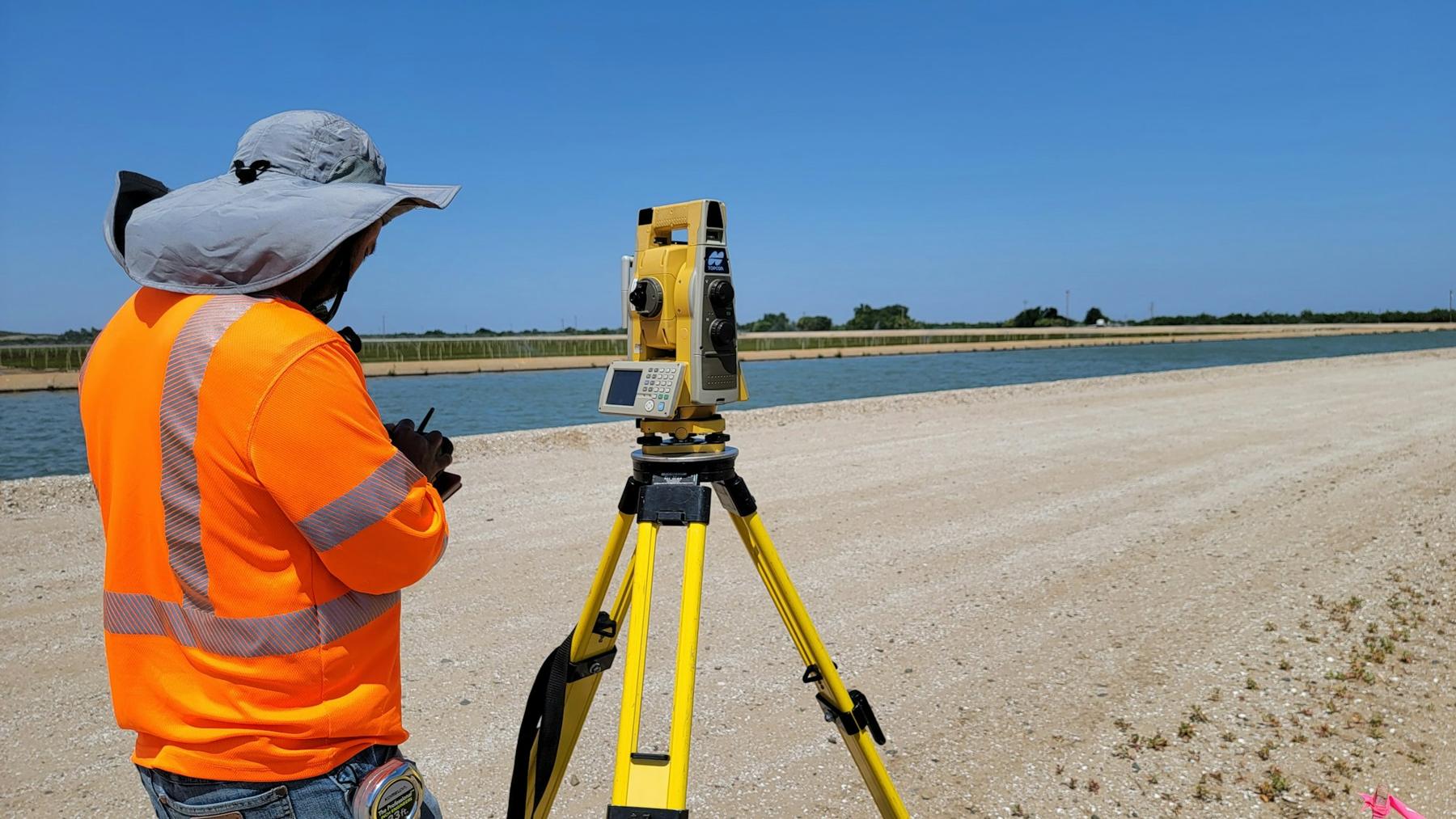
Land surveying · 3D scanning · Drone mapping
Empire Mapping USA provides professional surveying for construction, real estate and land development, from boundary lines and plot plans to hi-def laser scanning and UAV mapping.
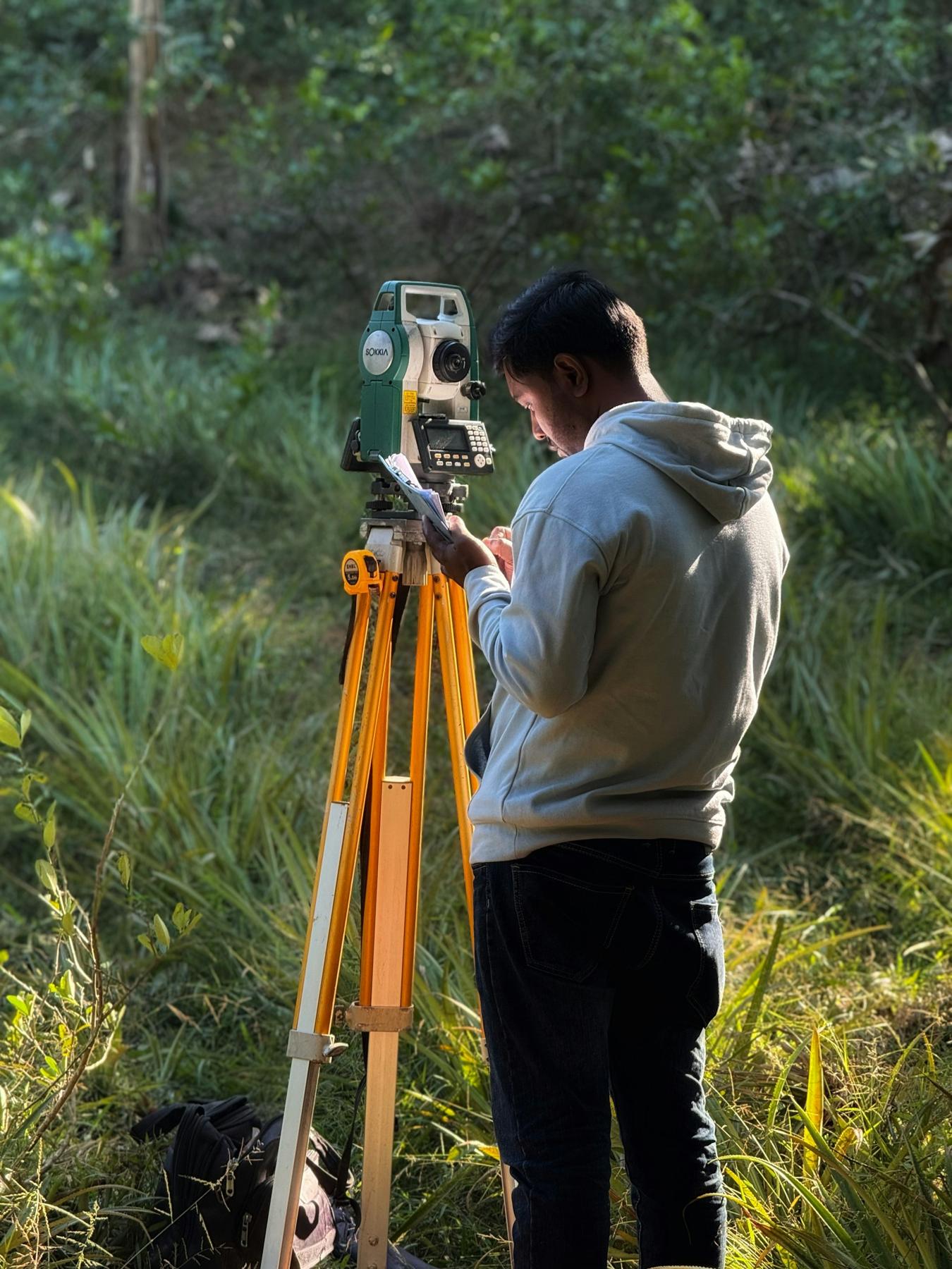
Survey science
Empire Mapping USA provides professional surveying services for construction, real estate and land development. Our experienced surveyors [to verify] use cutting-edge technology and equipment to deliver accurate, reliable results.
Whether you need construction land surveying, a site layout and topographic survey, or boundary and property line work, we have you covered.
About us →Full service list
Survey control and staking that keeps construction on plan.
Grade staking and elevation checks for earthwork.
Topographic surveys and layout of site features.
Documenting what was actually built, for records and sign-off.
Repeat measurements that track movement in structures and ground.
Surveys for commercial sites, from small lots to large developments.
ALTA/NSPS land title surveys for purchases and financing.
High-definition laser scanning of sites and structures.
Aerial drone mapping of sites.
Survey support for planning how land is used and developed.
Surveys for homeowners, buyers and builders.
Locating and marking property lines.
Mapping for dividing land into new parcels.
Elevation surveys for flood zone requirements.
Plot plans showing a property and what's on it.
Project-side support on construction jobs. [scope to confirm]
Equipment & technology
Survey instruments and GNSS
Civil design and drafting
Survey and CAD software
Aerial data capture
Drone photogrammetry and mapping
High-definition laser scans
Point clouds of sites and structures
Product names belong to their owners. Equipment list [to verify]
Why choose Empire Mapping USA
Empire Mapping USA holds Lunar Mapping's survey records from 1985 to 2011. Need a record from that archive? Get in touch.
About the records →